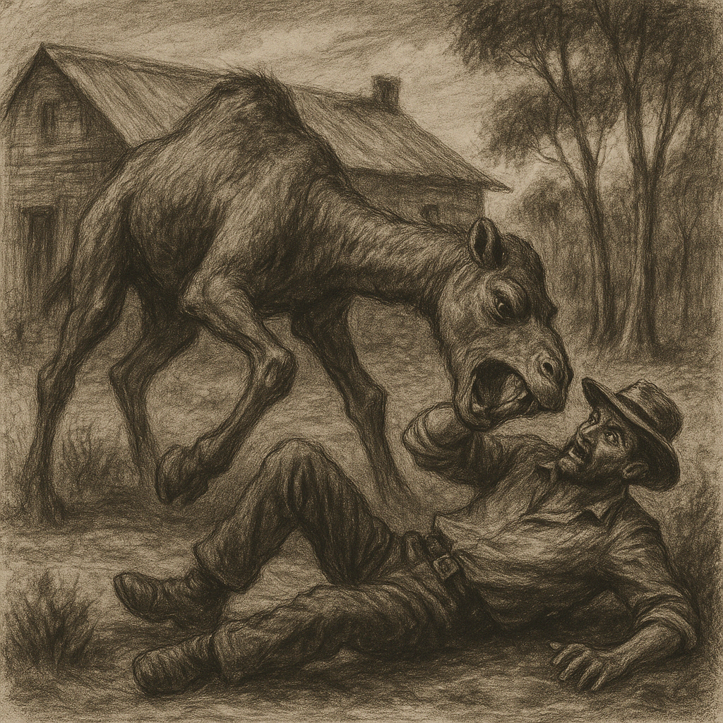
The Bull Camels Murder Lust by John Drayton The man who fools with a camel is not likely to make a similar mistake if he comes out of the disagreement alive. This would have been the opinion of “Spinifex Alan” if he could have expressed an opinion after his bull camel had finished mauling him […]
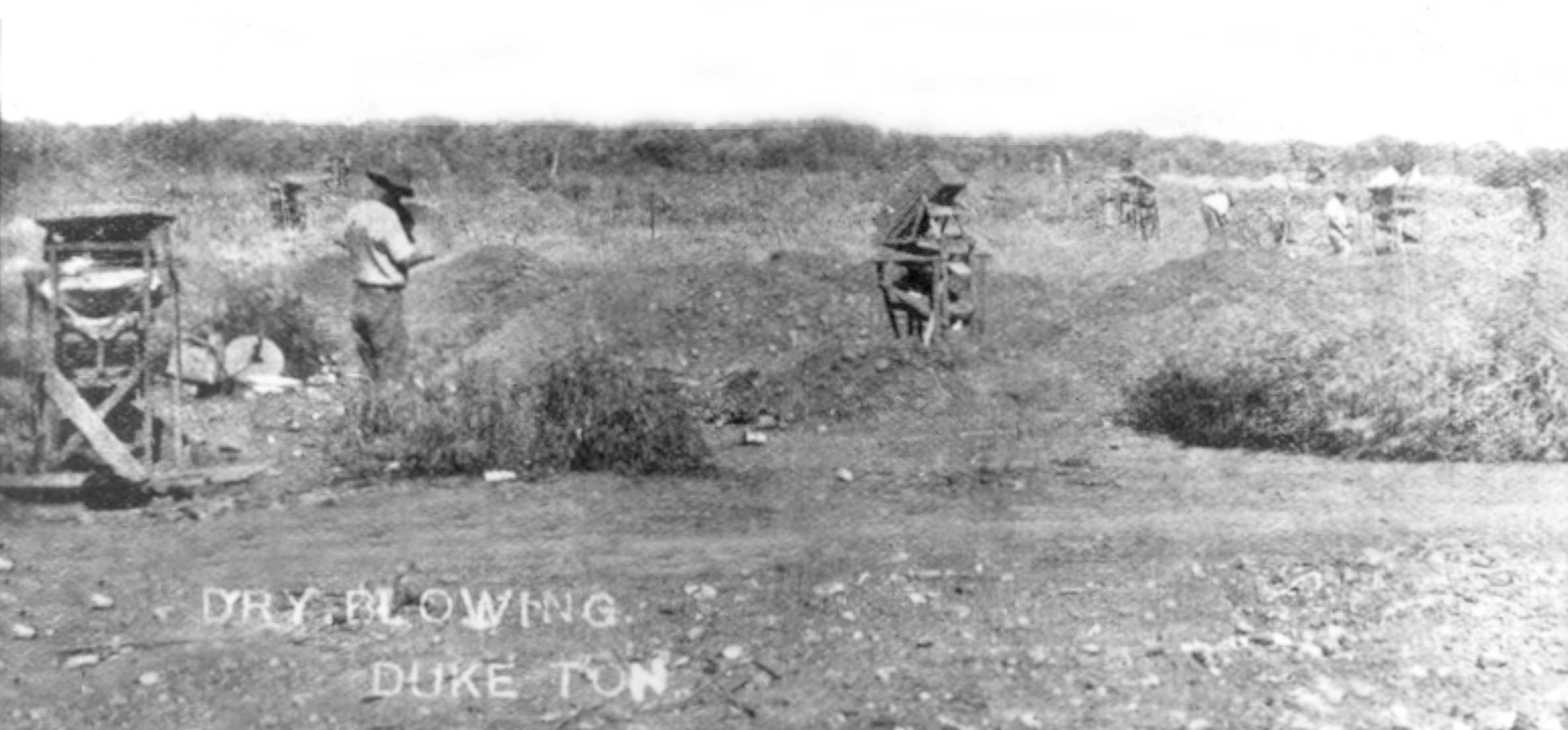
Duketon – ghost town
DUKETON 27° 38′ 30” South , 122° 16′ 49” East Duketon is named after brothers Jack and Charles Duke who with P. Hayes and J McDonald discovered gold here in 1897. A small town developed from around 1900, but only lasted a few years, as by the outbreak of WW1, much of the mining had […]
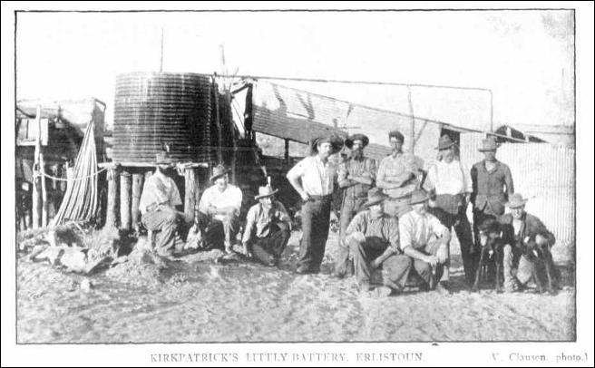
Erlistoun – ghost town
Kalgoorlie Western Argus 13 December 1904, page 19 THE ERLISTOUN by V. Clausen Where is Erlistoun??? Latitude 27″ 59′ 03″ S Longitude 122″ 20′ 25″ East Mt Margaret Goldfields. Located 71.5 km north of Laverton at Borodale Creek once known as Mistake Creek. Erlistoun usually referred to as ‘The Erlistoun’ was never gazetted as a […]
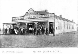
Mulga Queen – the early days
Mulga Queen today is a well-known Aboriginal community located 150 km northwest of Laverton in the Goldfields region of Western Australia and within the Shire of Laverton. The permanent buildings making up Mulga Queen were established in the mid-1980s. The settlement originally came about as a result of gold discoveries in the region in the […]
Isabel of the Erlistoun – a family story
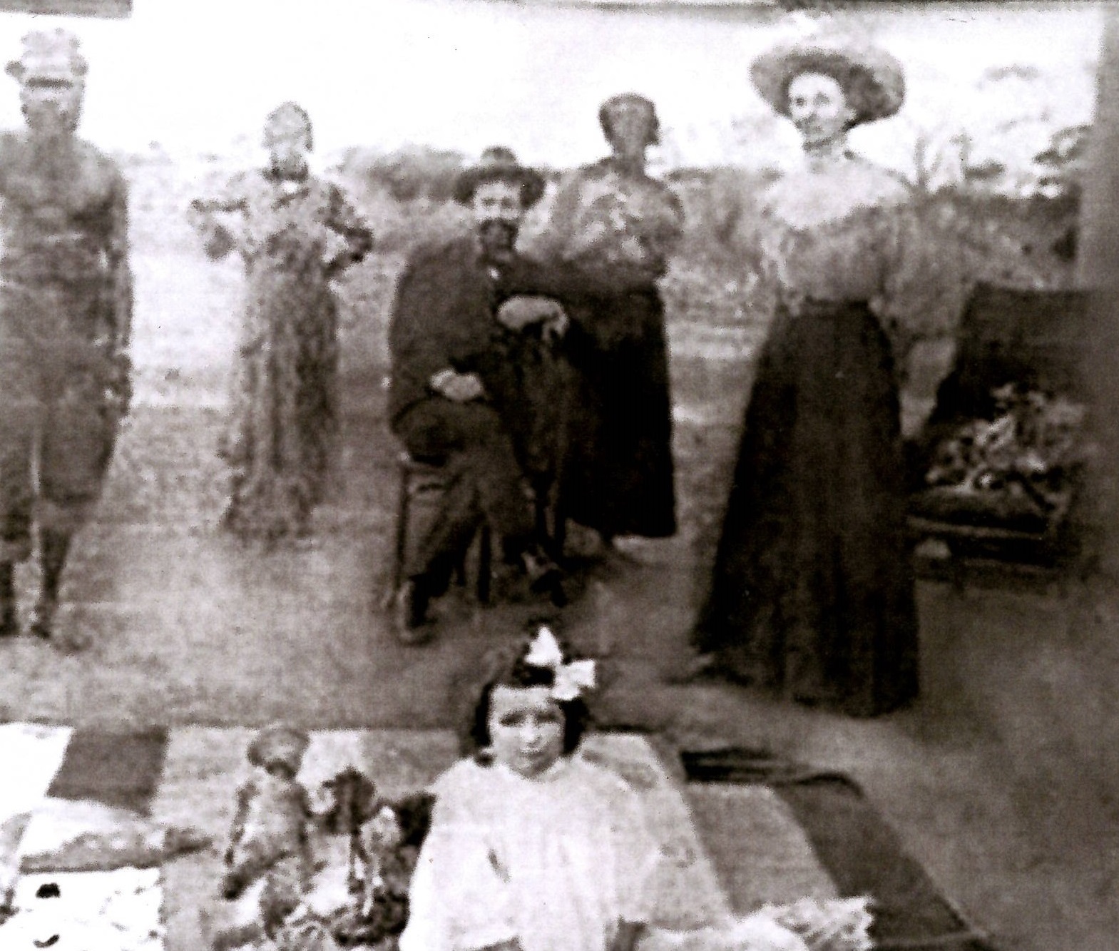
Isabel of the Erlistoun I have recently been sent the following story by Shirley Mayors. It was written by her mother as dictated by her own mother, Isabel Dwyer, Shirley’s Grandmother. It’s a fascinating story about how hard life was in these early Goldfields days. It was a far cry from being a member of […]
